

For people with reduced mobility, being able to park close to their destination can be essential. However, without information about availability, drivers may only discover that an accessible parking space is occupied once they arrive.
Fredericia Municipality wanted to improve this. By installing sensors across accessible parking spaces in the city centre, the municipality can provide drivers with up-to-date information about available spaces while also collecting data on how the spaces are used.
The challenge
Fredericia Municipality lacked reliable information about the availability and use of accessible parking spaces across the city centre. Drivers had no way of knowing whether a space near their destination would be available before they arrived, potentially requiring them to search elsewhere.
At the same time, the municipality had limited data on how the spaces were being used. Without continuous occupancy data, it was difficult to assess whether the existing number and location of accessible parking spaces matched actual demand.
The municipality therefore needed a solution that could provide drivers with current availability while creating a reliable data foundation for future planning.
sensors installed
gateways
installation days
data points collected per day
The solution
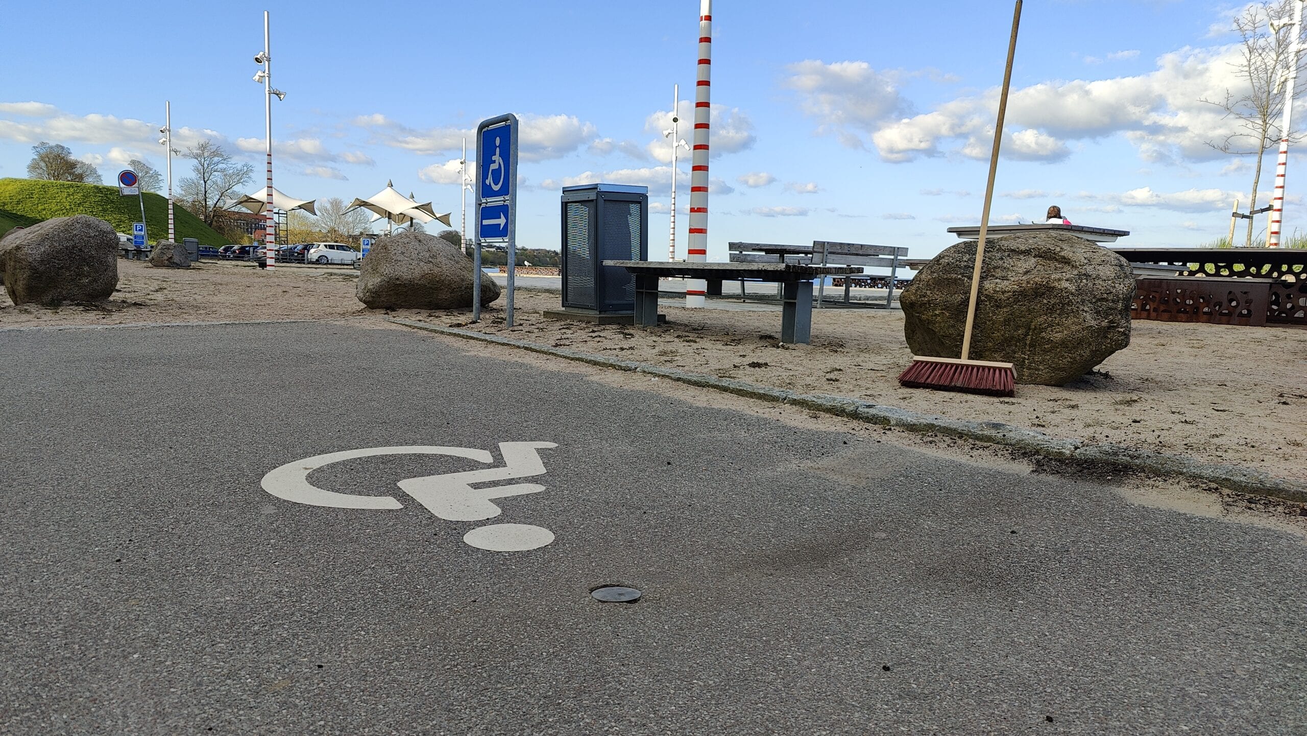
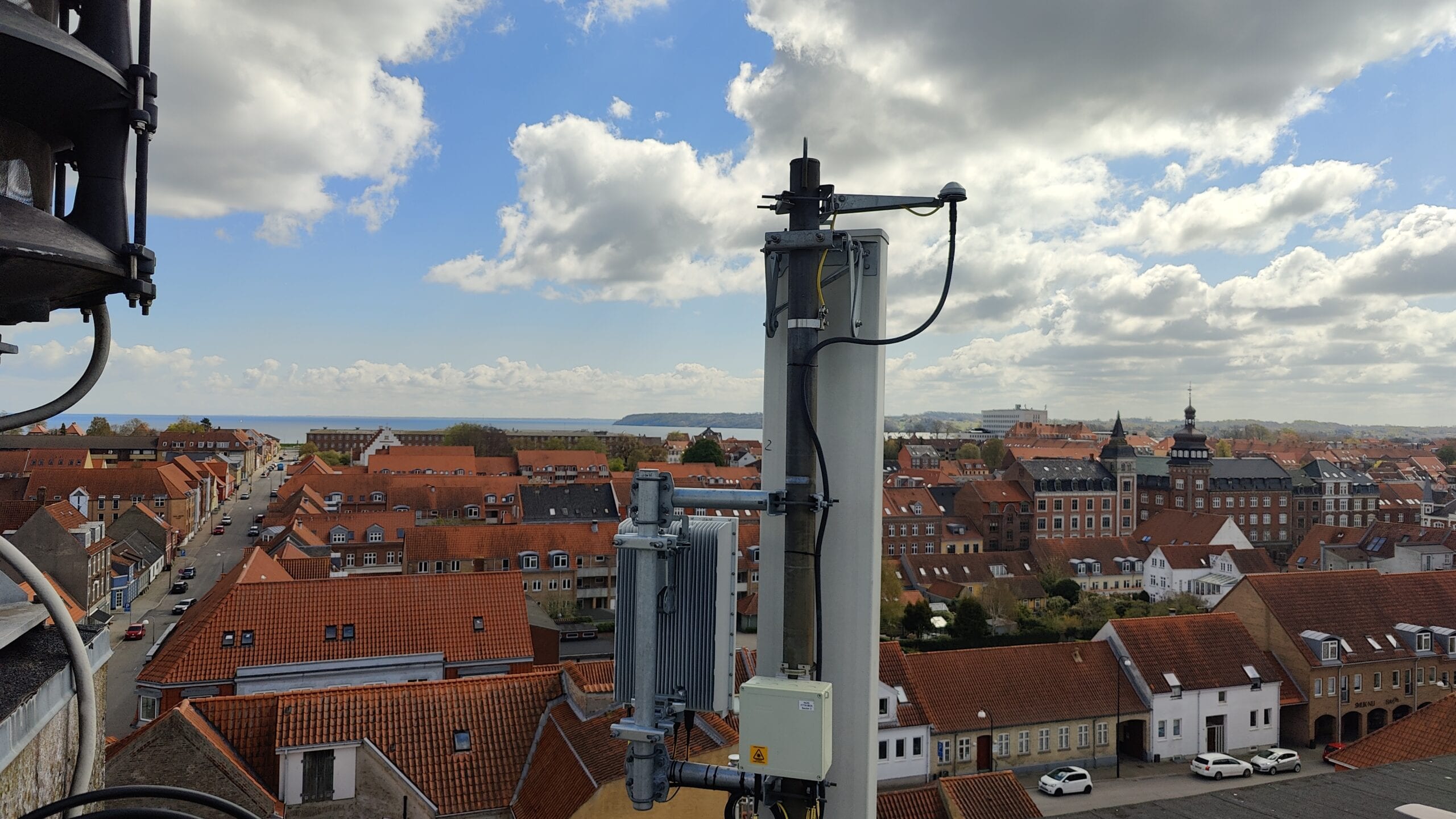
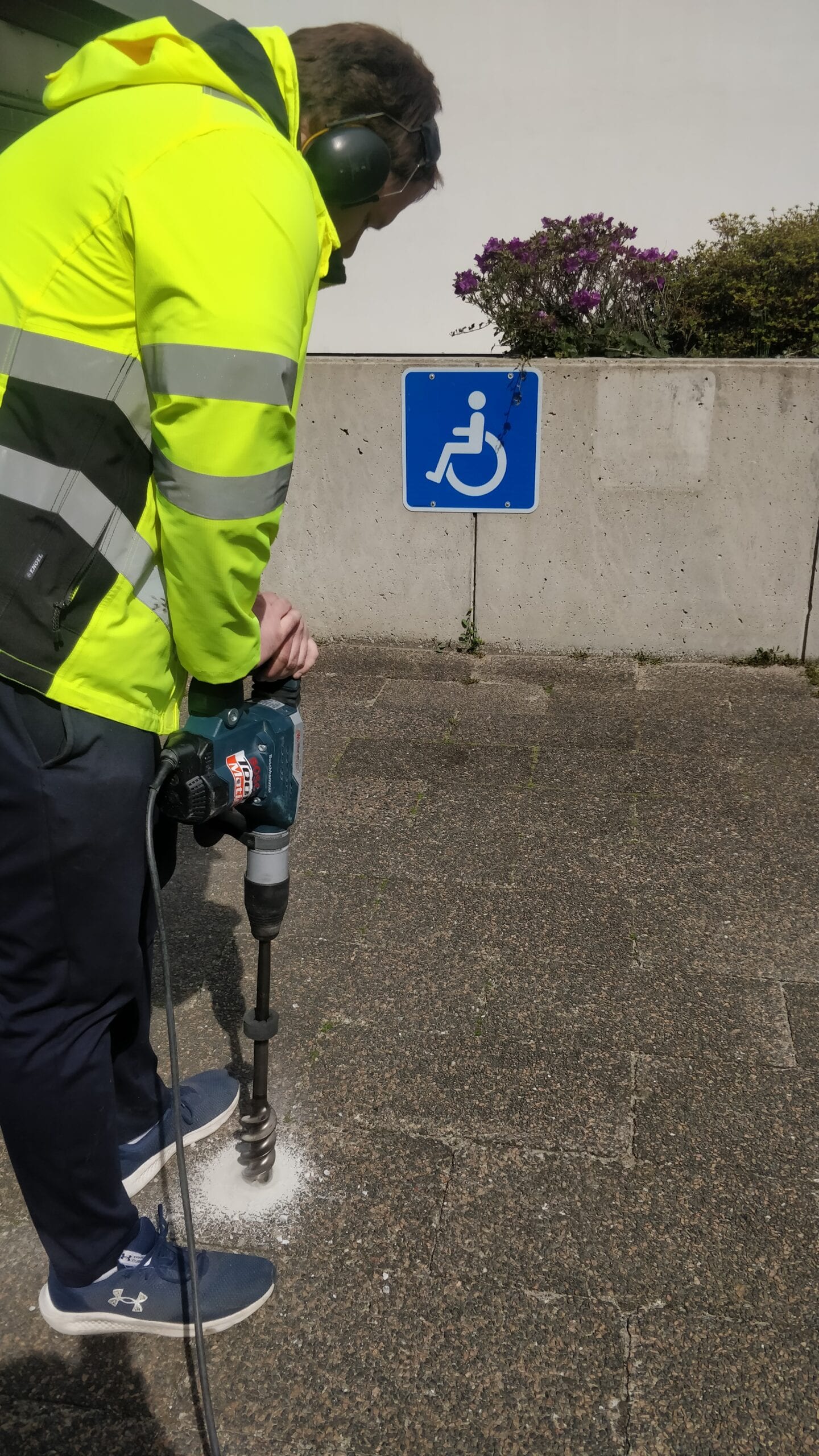
Sensade installed sensors across all 96 accessible parking spaces in Fredericia city centre. The installation was completed in just two days without disrupting access to the parking spaces.
The sensors continuously register whether each space is available or occupied, providing an up-to-date picture of accessible parking across the city centre.
Real-time data for drivers and decision-makers
For drivers, occupancy data is fed directly into a parking app, allowing them to see where accessible parking spaces are available before setting off. If their preferred location is occupied, they can use the app to find an alternative nearby.
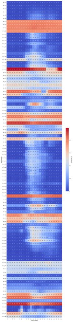
For Fredericia Municipality, the same data provides a continuous and detailed picture of how accessible parking spaces are used. With 4,094 data points collected every day, the municipality can identify patterns in occupancy, see when demand is highest and assess whether the existing capacity matches actual use.
The data can also be used to evaluate future changes to the number, location or regulation of accessible parking spaces and monitor how those changes affect parking patterns over time.
The impact
Drivers can now check the availability of accessible parking spaces before travelling and identify alternatives if their preferred location is occupied. This reduces uncertainty when planning a journey and makes it easier to find suitable parking close to the destination.
For Fredericia Municipality, the project provides continuous data on how accessible parking spaces are used across the city centre. This gives the municipality a stronger basis for assessing capacity, identifying changes in demand and planning future improvements.
The results
- Up-to-date availability of accessible parking spaces
- Easier access to information before travelling
- Continuous data on parking demand and occupancy
- Better data foundation for future parking planning