

Kolding Municipality already had several parking technologies in place across the city, including coil sensors, cameras and parking guidance systems. However, the data was spread across different systems, making it difficult to get a complete picture of how parking was being used.
Sensade brought the different data sources together in one platform, giving the municipality a more comprehensive overview of parking across Kolding while also making parking information more accessible to residents and visitors.
The challenge
Over the years, Kolding Municipality had implemented different parking technologies across the city. While the individual systems provided useful information, the data was not collected in one place.
This made it difficult for planners to compare parking patterns across different areas, identify periods of high demand and see where capacity was being underused. A more complete overview was needed to support decisions about the future planning and development of parking in the city.
At the same time, residents and visitors had no single source where they could see parking availability and relevant information across Kolding.
new sensors installed
parking spaces integrated
parking areas covered
The solution
Sensade created a unified parking data platform that brings together data from Kolding’s existing parking systems.
As part of the project, 68 new wireless sensors were installed across five streets with time-restricted parking, adding occupancy data from locations where this information was not previously available. Data from the municipality’s existing coil sensors and camera systems was then integrated into the same platform.
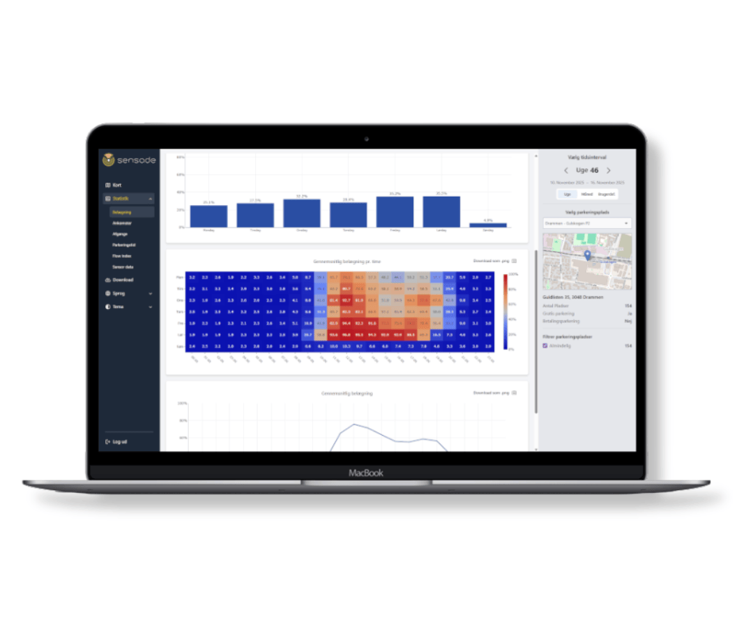
In total, the solution brings together data from 2,360 parking spaces across 32 areas. Through the Sensade dashboard, the municipality can monitor parking patterns across the city and compare occupancy, periods of high demand and the use of different parking areas.
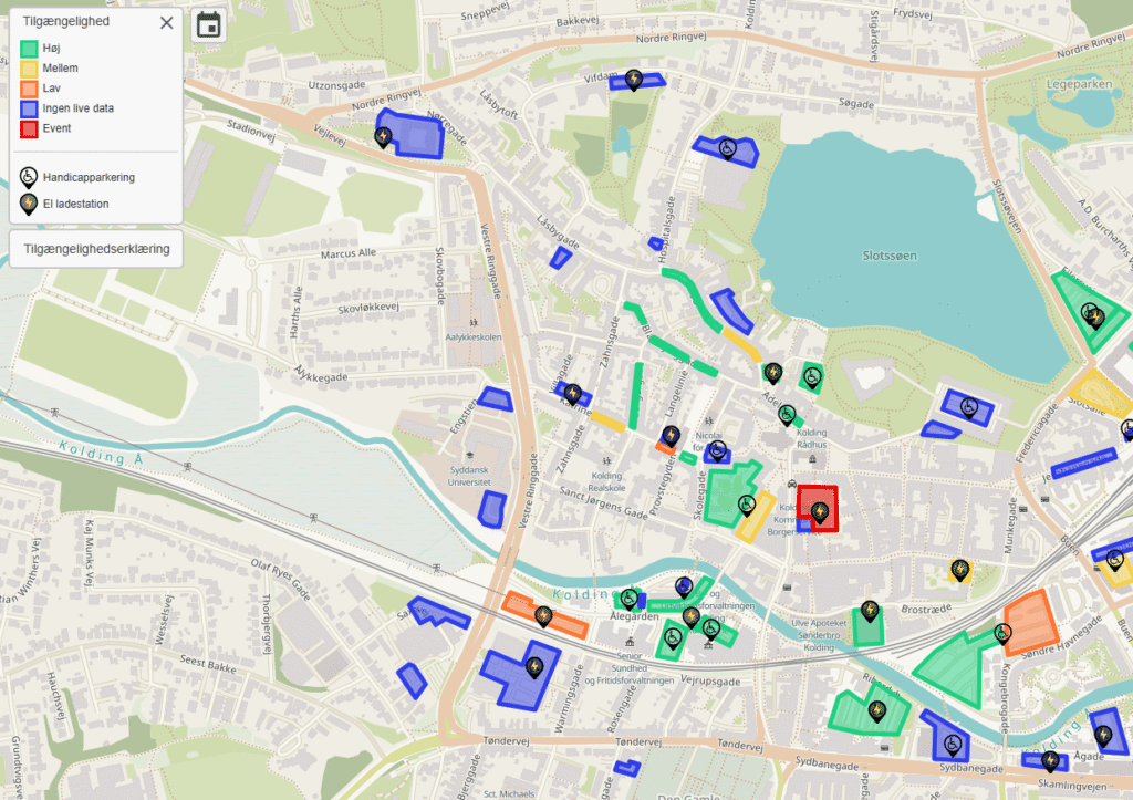
Sensade also developed the Kolding Parkering app, giving residents and visitors access to current parking information through an interactive map. Users can see available parking spaces and find information about prices, time restrictions and parking zones, making it easier to find a suitable place to park.
The same information is also available through the dedicated web platform at parkering.kolding.dk.
The impact
Kolding Municipality now has parking data from 2,360 spaces across 32 areas brought together in one platform. This makes it easier to compare how parking areas are used, identify patterns in demand and assess where capacity is under- or overused.
The data provides a stronger basis for planning and for decisions about how the city’s existing parking capacity can be used and developed over time.
For residents and visitors, the solution provides easier access to information about parking across Kolding. Instead of searching without knowing where spaces are available, users can check parking information before or during their journey and find a parking area that suits their needs.
One platform for parking across Kolding
By connecting existing parking technologies rather than replacing them, Kolding Municipality can use data from different systems through one platform.
The solution can also be expanded as parking infrastructure develops, allowing additional locations and data sources to be integrated over time. This gives the municipality a common data foundation for both the daily overview of parking and longer-term planning.
The results
- Parking data from 2,360 spaces across 32 areas
- One dashboard combining data from multiple parking systems
- Parking app for residents and visitors
- More informed parking and urban planning