City of Aarhus

How Aarhus is using 1,000 IoT sensors to optimise urban parking and support its ambition to become COâ‚‚-neutral by 2030.
Introduction

As Aarhus grows, so does the demand for mobility and parking. At the same time, the city is working to preserve green spaces, make better use of existing infrastructure and support its wider sustainability goals.

To plan parking effectively, the municipality needed a clearer picture of how existing parking spaces were actually being used. This required continuous parking data across the city rather than occasional snapshots.

case

The challenge

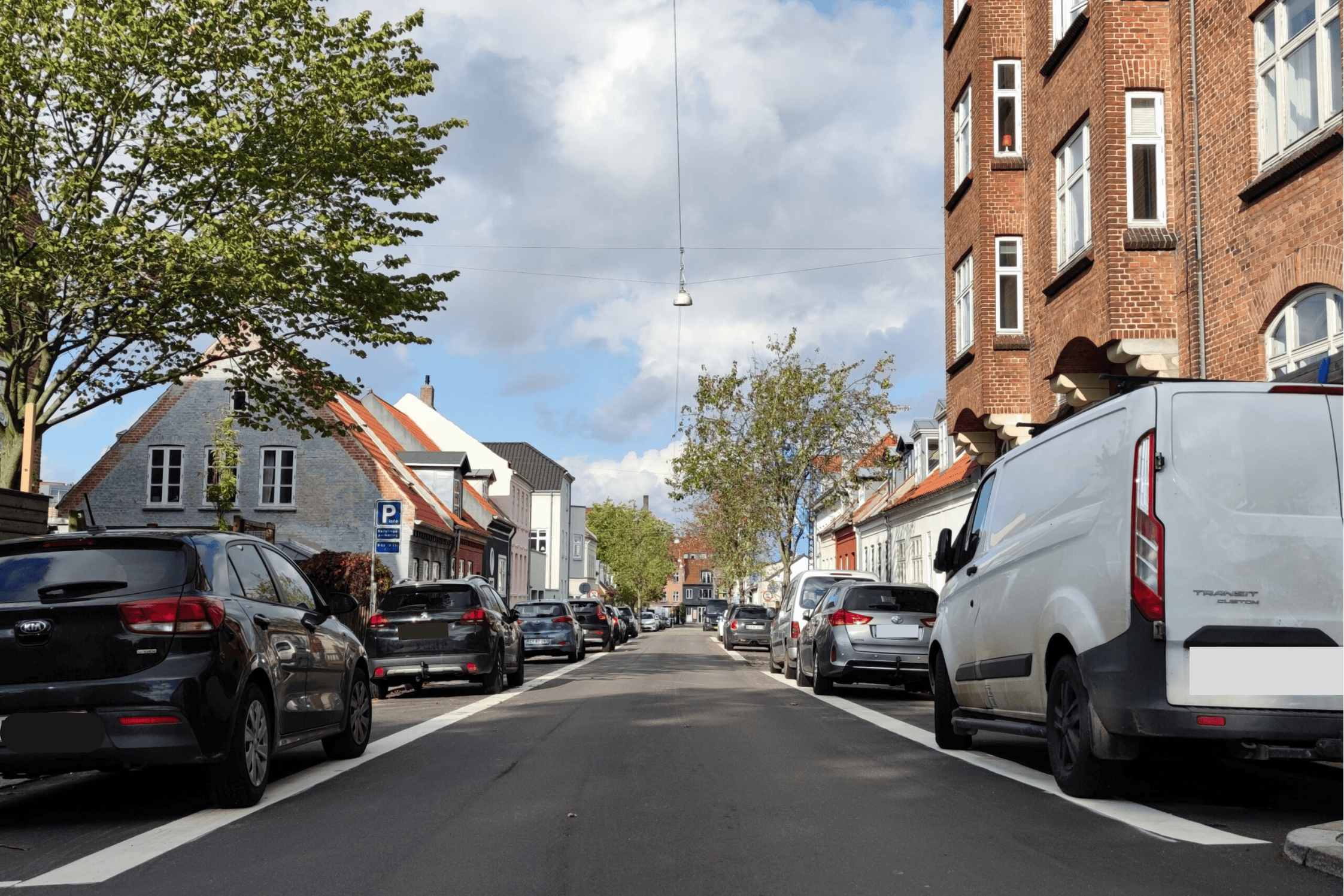
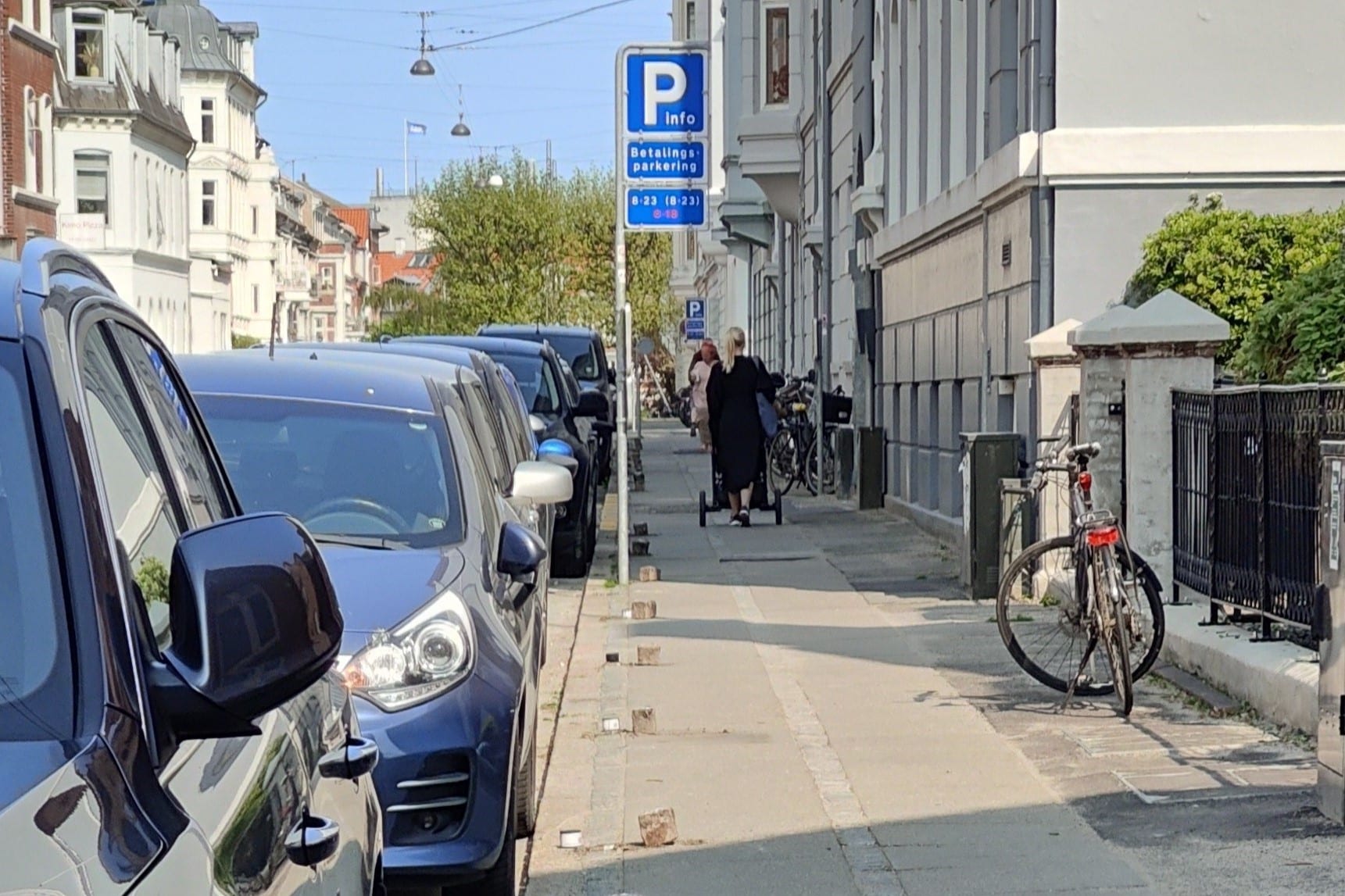
As Aarhus continues to grow, demand for parking – particularly in and around the city centre – puts increasing pressure on the available space. Simply adding more parking is not always the right solution in a city that also wants to protect green areas and make efficient use of its existing infrastructure.

The municipality therefore needed a better understanding of how parking spaces were being used across the city. Without continuous occupancy data, it was difficult to identify where demand was highest, how it changed over time and whether existing capacity was being used effectively.

The challenge was not simply to create more parking, but to make better use of the parking infrastructure already available.

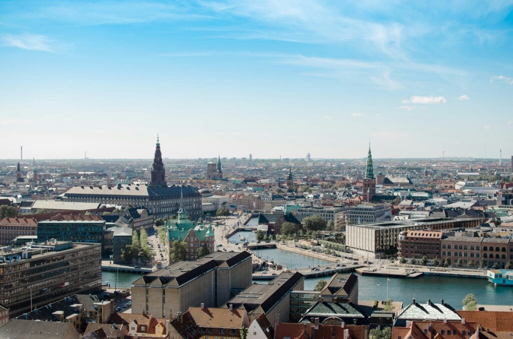
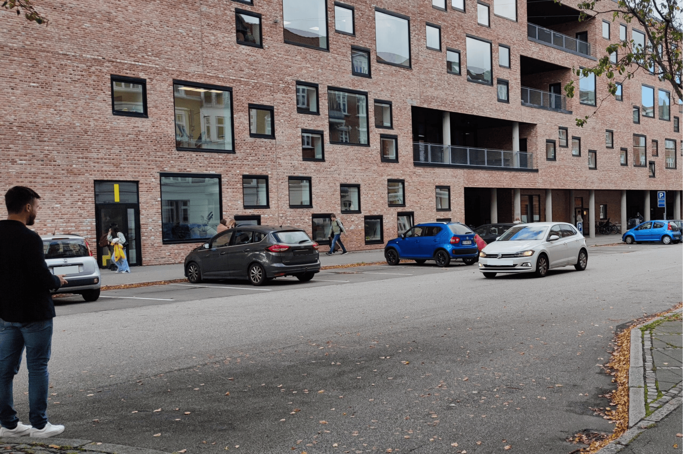
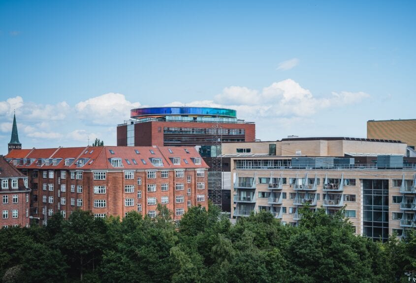
Buildings in Aarhus city centre
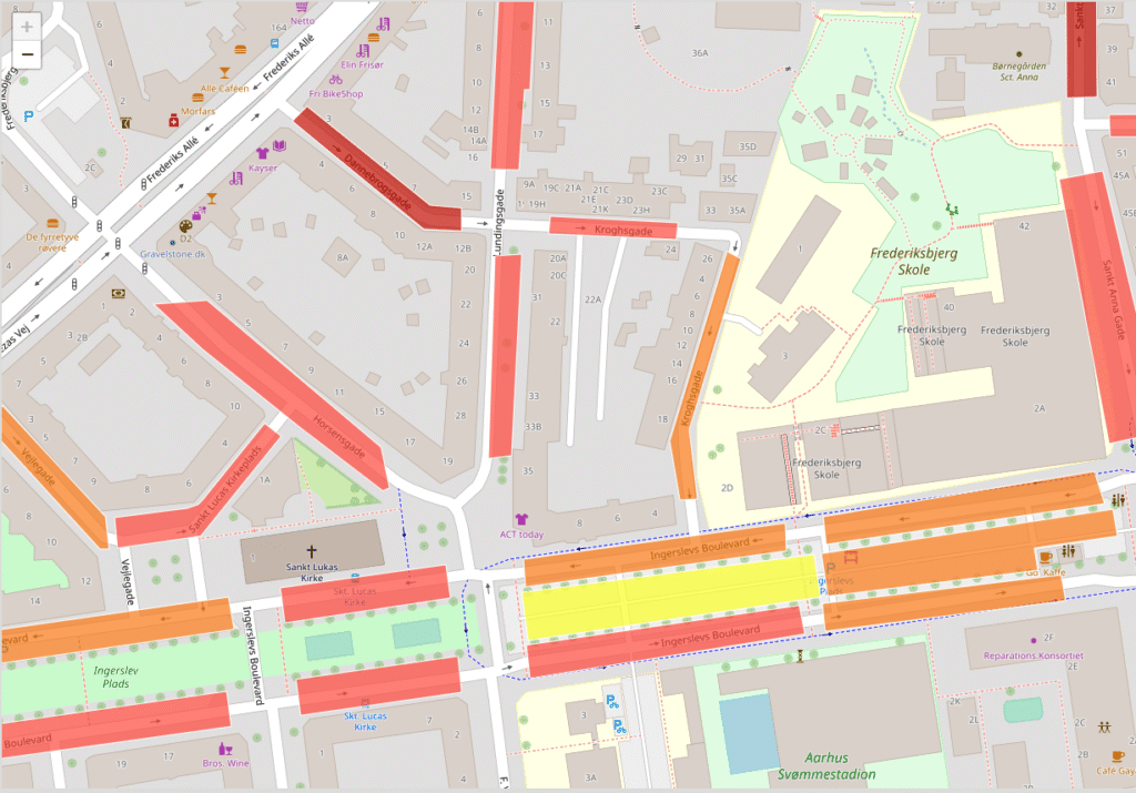
Parking occupancy map of Lemvig with colour-coded streets
solution

The solution

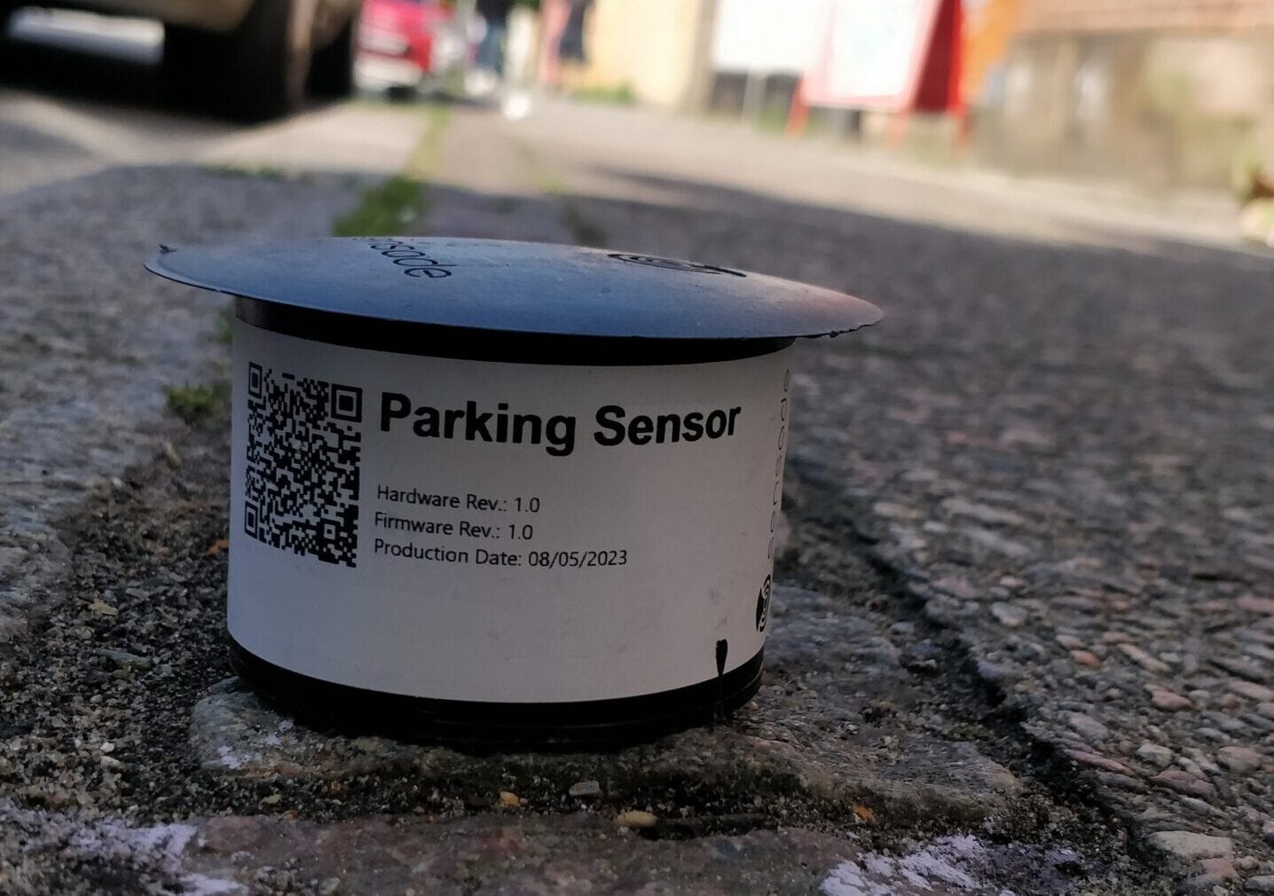
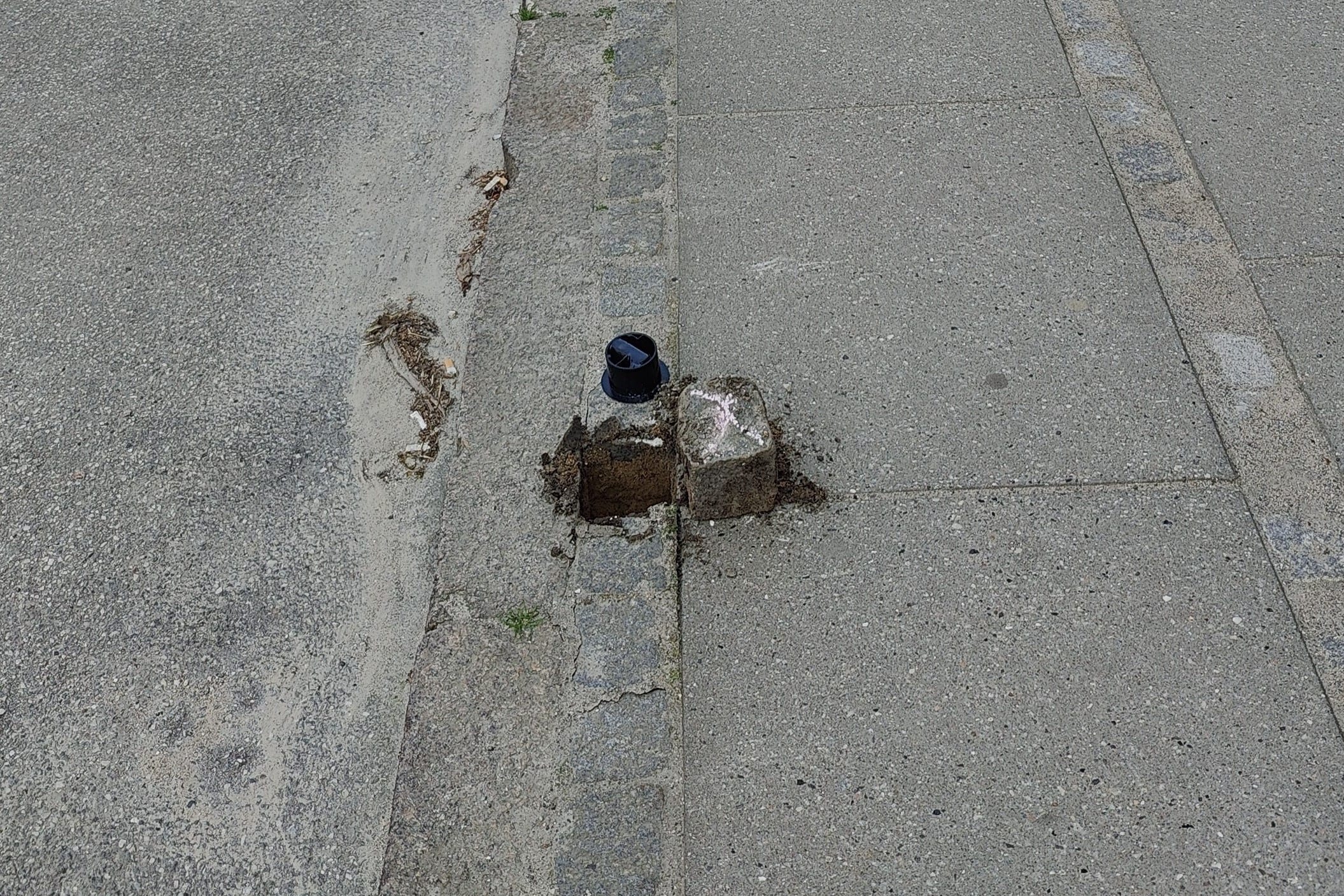
Sensade deployed 1,000 wireless parking sensors across 221 parking areas in Aarhus, creating a city-wide network for monitoring parking occupancy.

The sensors continuously register whether individual parking spaces are available or occupied and transmit the data to the Sensade platform. This gives the municipality an up-to-date picture of parking demand across the monitored areas and makes it possible to analyse how occupancy changes by location and over time.

The parking data can also be made available as open data and integrated into public-facing digital services, allowing residents and visitors to see where parking spaces are available.

"The sensors will be used to collect data that can be used to plan parking better. But it is also the plan to make it available as open data. This could make it possible to show citizens where parking spaces are available in real time."

Aarhus Municipality coat of arms
Michael Bloksgaard
Project Manager, Technical and Environmental Department, City of Aarhus
Parking data for urban planning

Parking data gives the City of Aarhus a more detailed picture of how parking is used across the city. With data from 221 parking areas, the municipality can investigate:

  • Where and when demand for parking is highest.
  • How parking availability relates to activity in different parts of the city.
  • Where parking violations occur most frequently.
  • How pricing and time restrictions affect the use of parking spaces.
  • How parking and public transport interact.

The data gives the municipality a better basis for planning parking and mobility based on how parking spaces are actually used.

COâ‚‚-neutral by 2030

In 2008, Aarhus City Council set an ambition for Aarhus to become COâ‚‚-neutral by 2030. Mobility and transport play an important role in this work, and parking data can help provide a better basis for making use of the city’s existing parking capacity.

When drivers can see where parking spaces are available, they can spend less time driving around looking for a space. This can reduce unnecessary search traffic and, in turn, the COâ‚‚ emissions associated with that additional driving.

At the same time, parking data gives the municipality a better understanding of how parking is used and how it relates to wider mobility across the city. The data can therefore contribute to decisions about parking, traffic and more sustainable mobility.

The results

Cases

See more cases

Contact

Partner with Sensade

Let us find the right parking solution for your needs. From initial ideas to full-scale deployments, our team is ready to support your next project.

Why work with us:
What happens next?
1

We schedule a brief introductory call

2

We review your needs and project goals

3

You receive a tailored proposal

Book a Meeting